Gibraltar Strait Landline

Connecting Africa and Europe through infographics

SERVICES
STUDIO
PEDRO JIMÉNEZ ↗
CLIENT
SECEGSA (Ministerio de Transportes)
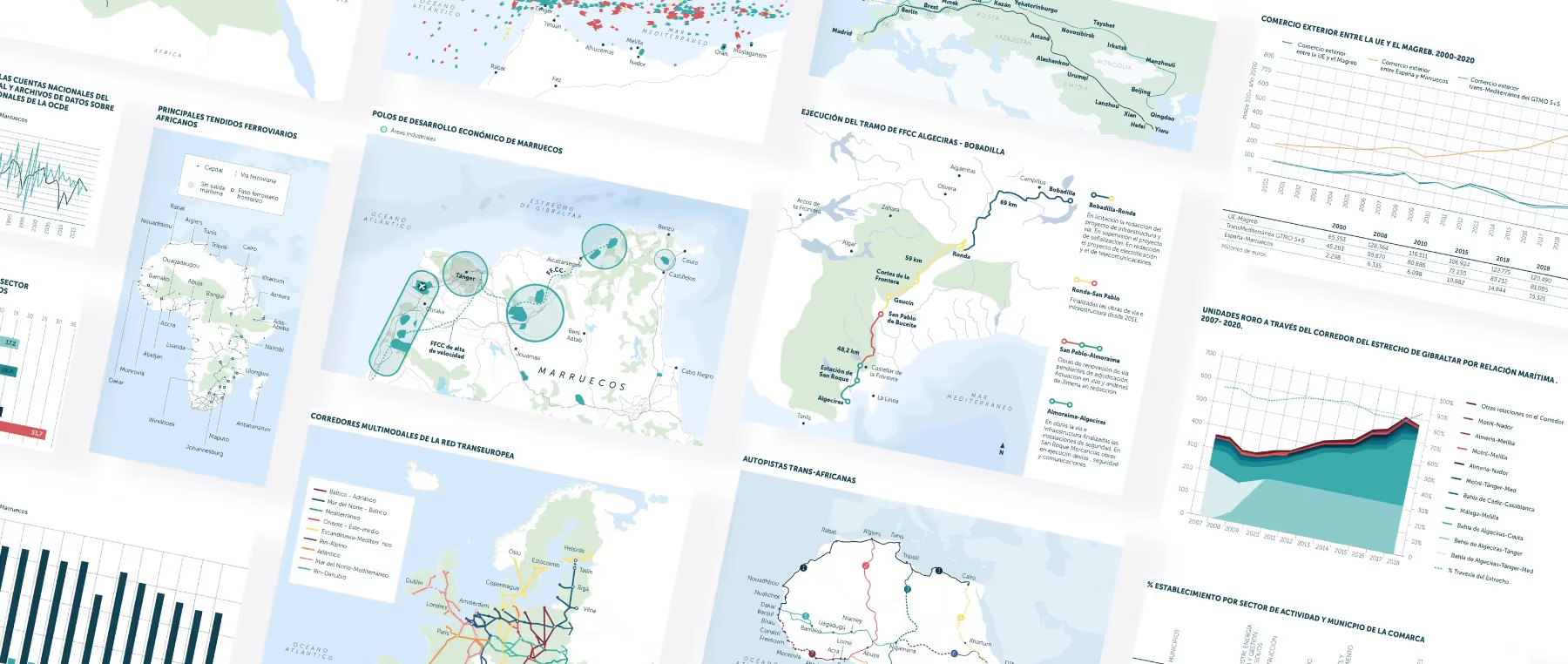
Design of over 60 infographics and maps for a book and exhibition on the proposed construction of an underwater tunnel in the Strait of Gibraltar and its socio-economic impact.
Art Direction: Pedro Jiménez
Infographic Design: Carlos Heyd
Collage of various maps, charts, and graphs depicting geographic, economic, and transportation data with labeled regions, routes, and statistical trends.
Open book showing a two-page spread titled 'Grandes Pasos Marítimos del Mundo' featuring a world map and descriptions with smaller maps highlighting major global maritime routes and passages.Collage of various maps, charts, and graphs displaying economic, maritime, and transport-related data for regions including the Mediterranean, Morocco, and parts of Europe and Africa.
Next case
300 milisegundos →
← All work